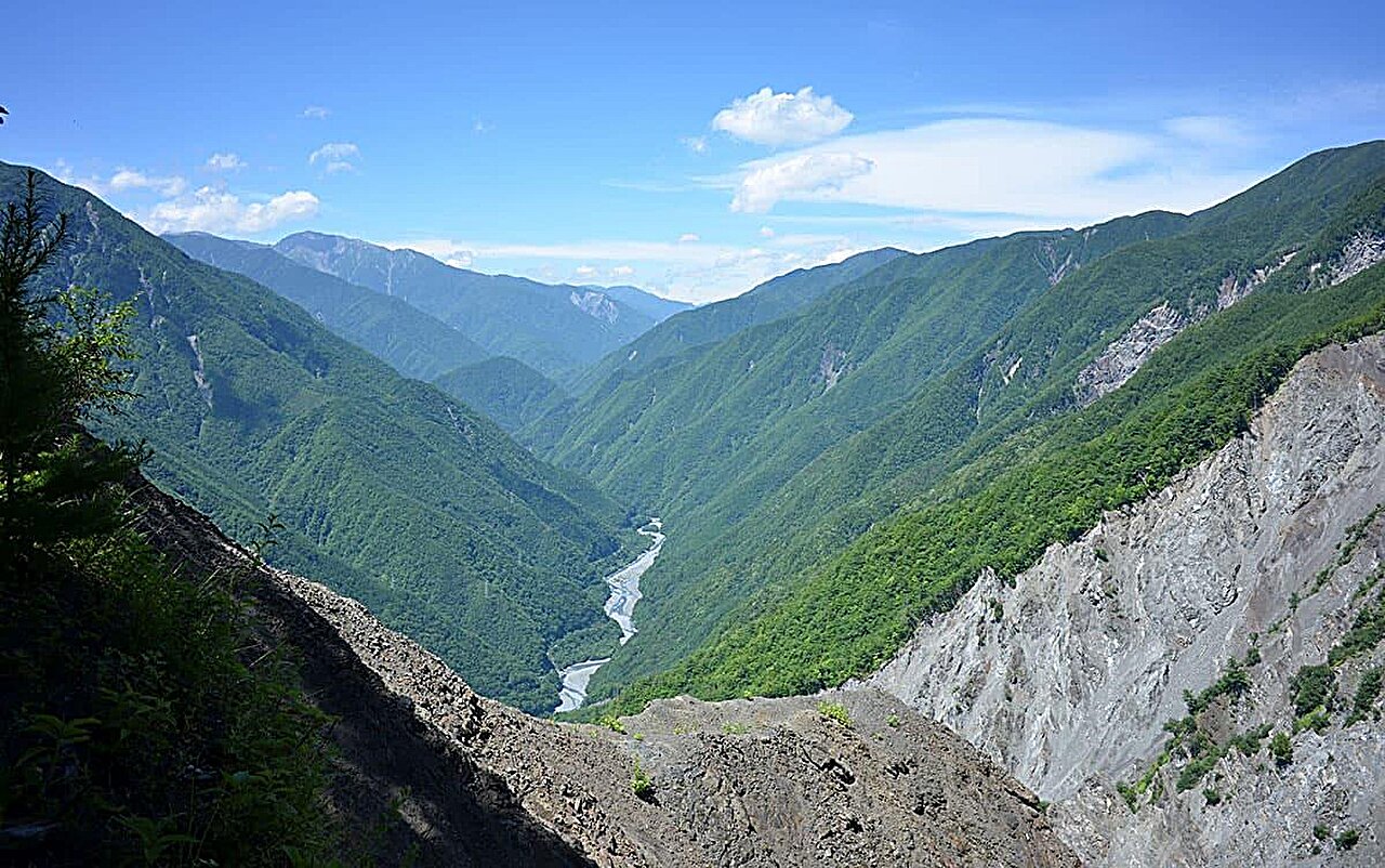
Understanding the dynamics of rainfall-runoff in mountainous terrains is vital for refining predictions of sediment-related hazards, which are becoming increasingly critical under the influence of climate change. Despite extensive flood monitoring in various mountainous locales globally, comprehensive data from areas characterized by high-relief have been limited primarily to smaller watersheds, typically under 1 km2, featuring moderate river discharges. Meso-scale watersheds, spanning approximately 1–10 km2 and noted for their steep gradients and substantial sediment and water flows, present substantial data collection challenges.
In a new study, researchers monitored seven neighboring watersheds within the Ikawa Experimental Forest, operated by the University of Tsukuba in Shizuoka Prefecture, Japan. This area typifies the large, high-relief mountainous landscapes of Japan. The introduction of non-contact ultrasonic water-level gauges minimized the risk of equipment loss and enabled accurate measurements in locations where river channel topography fluctuates minimally, thus affecting data reliability.
The work is published in the journal Hydrological Processes.
Analysis of the collected data focused on the “peak lag time”—the interval between the zenith of rainfall and the corresponding peak in runoff. This metric is crucial for understanding the rainfall-runoff relationship. The study found that larger watersheds exhibited longer peak lag times.
Comparison with data from lower-relief areas indicated that watersheds of similar sizes show comparable peak lag times, suggesting that watershed scale is a more significant factor in determining flood timing than the degree of topographical relief. This finding implies that floods in steep terrains can advance downstream as rapidly as those in flatter areas.
The insights from this research illuminate aspects of the rainfall-runoff process in high-relief meso-scale mountainous watersheds, areas where detailed data have been notably lacking. These findings are anticipated to enhance the accuracy of forecasts for sediment-related disasters significantly.
More information:
Takafumi Hajika et al, Spatial distribution of rainfall–runoff characteristics and peak lag time in high‐relief meso‐scale mountain catchments where observations are scarce, Hydrological Processes (2024). DOI: 10.1002/hyp.15177
Citation:
Research suggests watershed scale determines timing of flood in mountainous river regardless of topography (2024, July 1)
retrieved 1 July 2024
from https://phys.org/news/2024-07-watershed-scale-mountainous-river-topography.html
This document is subject to copyright. Apart from any fair dealing for the purpose of private study or research, no
part may be reproduced without the written permission. The content is provided for information purposes only.