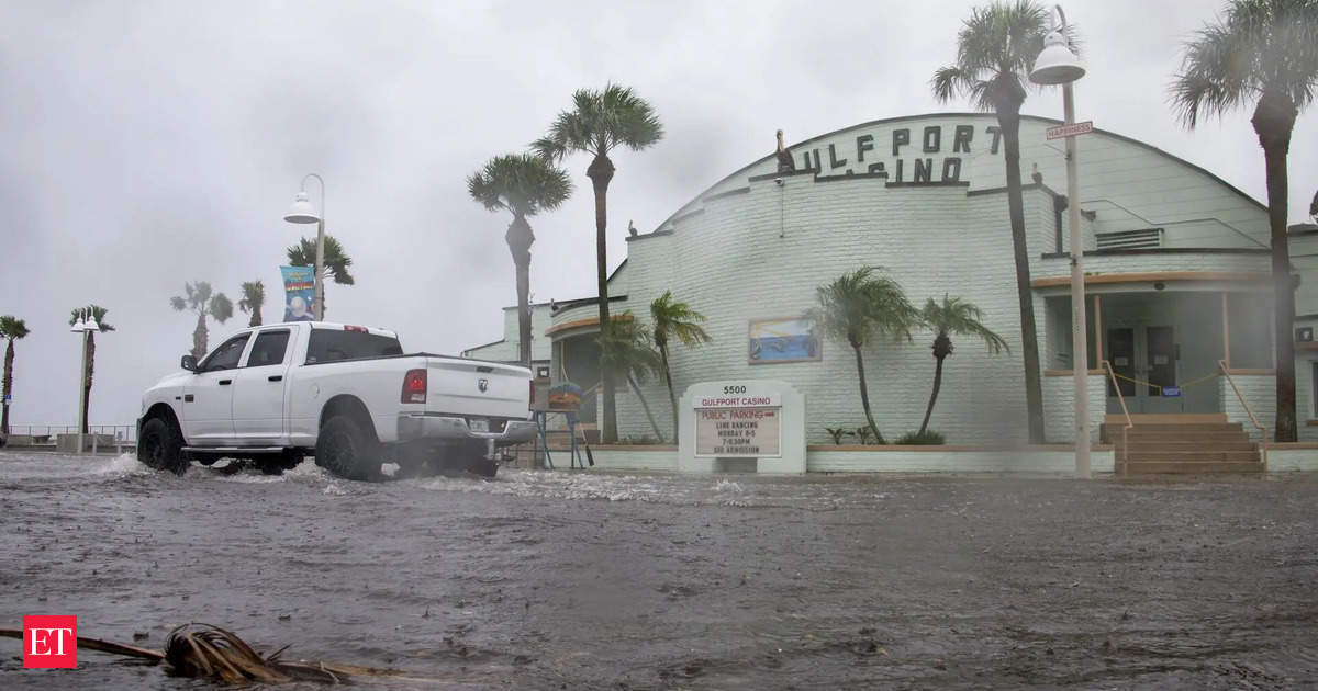
Hurricane Watch Issued
The National Hurricane Center has issued a hurricane watch for the Gulf Coast of Florida, covering areas from Englewood to Indian Pass, including Tampa Bay and Charlotte Harbor. A tropical storm watch is also in effect for regions to the north and south of this area, including Indian Pass to the Walton-Bay County line and from north of Bonita Beach to Englewood. A tropical storm watch was issued for Florida’s Dry Tortugas and part of the Keys.
Emergency Preparedness in Action
Florida Governor Ron DeSantis has declared an emergency for 41 of the state’s 67 counties to expedite preparations and coordination ahead of the storm. Tampa General Hospital is already building a 10-foot-high flood barrier around the facility due to the risk of storm surge and shifting storm tracks.
Rapid Intensification Expected
On Monday, the potential cyclone was a mass of showers and thunderstorms in the western Caribbean Sea. The National Hurricane Center predicts that the system will become a hurricane by Wednesday night and may reach Category 3 strength. The last Category 3 storm to make landfall in the U.S. was Hurricane Idalia, which impacted Florida last August with winds of 125 mph.
Alerts Extend Beyond Florida
While the hurricane center shows a potential landfall in Florida’s Big Bend region, meteorologists have warned the residents from Florida’s Gulf Coast to eastern Louisiana to remain alert. The system is expected to bring strong winds and storm surge, creating rough seas and dangerous rip currents in the Gulf.
Heavy Rainfall and Flood Risks
The National Hurricane Center stated, “Potential Tropical Cyclone Nine will bring heavy rain to portions of the western Caribbean, which will cause considerable flooding and mudslides across western Cuba.” Heavy rainfall is expected to affect much of the Southeast, with a risk of flooding starting midweek.A level 2 of 4 risk of flooding rain is in place for much of Florida, Georgia, Alabama, and parts of the Carolinas on Thursday. The center warned that heavy rainfall could lead to considerable flash flooding and significant power outages across these regions.
Economic Impact of Frequent Storms
If Helene makes landfall, it would be the fourth hurricane to impact the U.S. this year and the fifth to hit Florida since 2022. The ongoing threats from hurricanes have strained Florida’s insurance market, as insurers withdraw from the state due to the increasing risks associated with extreme weather linked to climate change.
Residents are advised to have a hurricane plan and to stay informed about any additional hurricane and storm surge watches. For more information and real-time updates, visit the National Weather Service or the National Hurricane Center websites.

